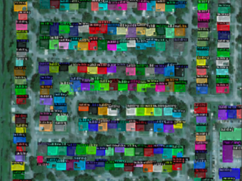
Damage Segmentation
Paper Title: Multi-Disaster Building Damage Segmentation and Classification using Satellite Imagery

Satellite imagery has played an increasingly important role in post-disaster building damage assessment. Unfortunately, current methods still rely on manual visual interpretation, which is often time-consuming and can cause very low accuracy. In this project, we address the limitations of manual interpretation by automating the process. We create a deep learning model that combines a building identification semantic segmentation convolutional neural network (CNN) to a building damage classification CNN.
Read the preprint here.